
By converting data into valuable predictive analyses, orbital sensors expand operational capacity and increase productivity in the field
The need for forests, plantations and pastures to be managed and exploited in harmony with environmental conservation is becoming increasingly clear, given the worsening climate crisis. Both to guarantee global food security and to ensure the survival of species, including humans.
From this perspective, a potentially transformative technology has been gaining prominence among producers and industries in the forestry and agricultural sectors who are looking to make the most of natural resources without compromising their ability to regenerate: remote sensing using sensors on board monitoring satellites.
Capable of promoting operational and productive efficiency in line with the much-needed ecological balance, this spatial data collection system is impacting the entire value chain associated with forest assets.
Orbital remote sensing at the service of forest management
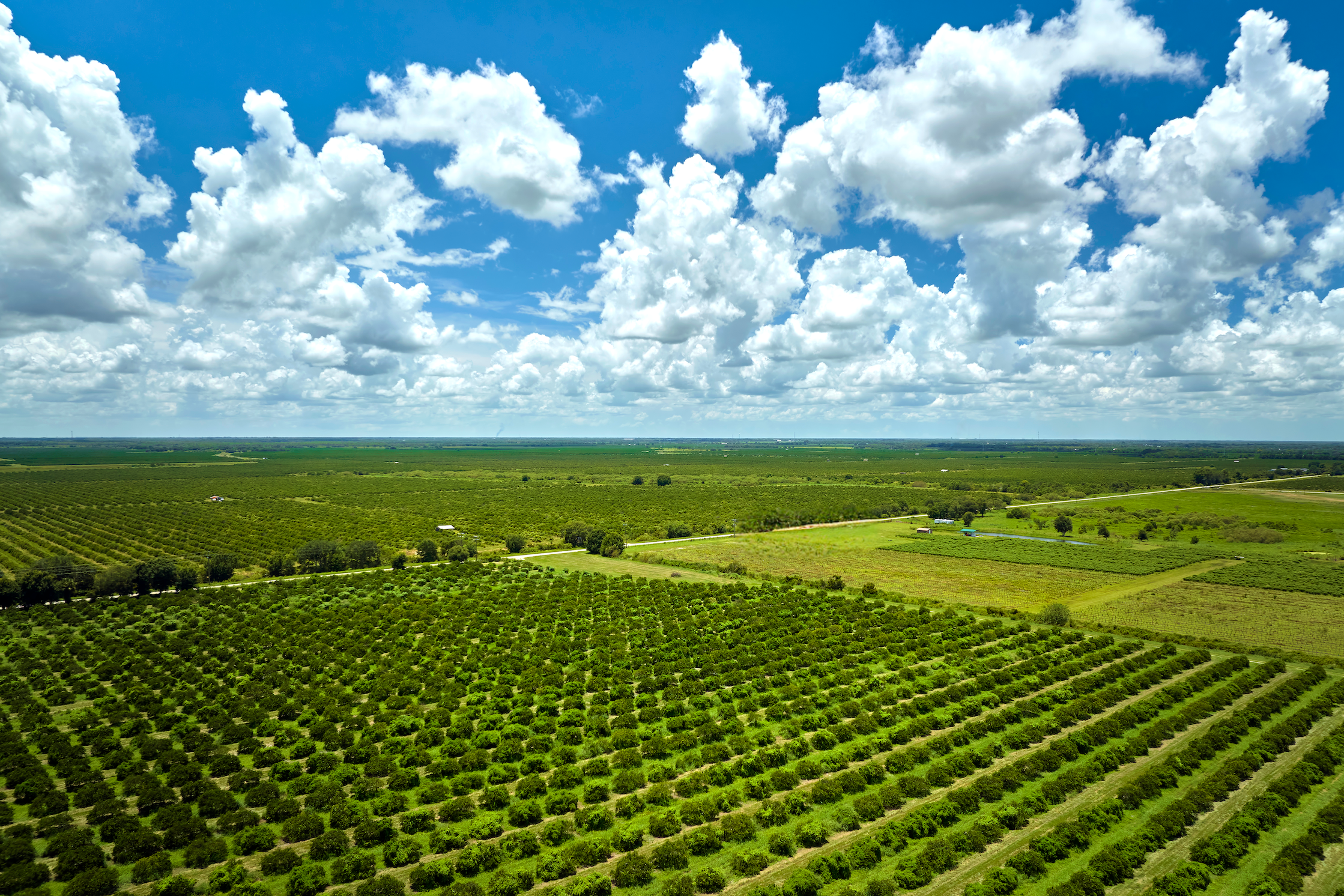
It is practically impossible to maintain the potential prosperity of forests planted by man without understanding their structure and performance. No matter what their productive purpose, vegetation covers need to be constantly monitored in order to fulfill their economic, environmental and social functions - now and in the future.
Developed precisely to enable precise monitoring programs of areas, phenomena or objects located on Earth, artificial observation satellites provide detailed data and images, in near real time and remotely, which are crucial for modern agriculture.
Equipped with powerful sensors, they have an exceptional ability to detect and capture strategic information that guides everything from the choice and preparation of the area to planting and harvesting. This includes topography, soil conditions, plant health, biomass estimation, water stress and climatic variables, among other references.
From subtle changes in the vigor of vegetation to large-scale degradation scenarios, nothing escapes the lenses of these orbital instruments that immensely broaden the scope of the human gaze, which is limited by nature.
No wonder they are being considered key components for the planning and sustainable development of forests, agroforestry systems, forestry and agricultural and livestock crops.
High coverage: comprehensive and continuous view of vegetation
Once restricted to scientific purposes, monitoring satellites are now an indispensable input for the modernization and technification of forestry activities.
Especially in the case of projects carried out in large, pluralized areas and inhospitable regions, since alternative inspection methods (such as piloted aircraft, drones, ground sensors and observation towers) do not work on a sustained basis on a large scale, for different reasons.
Due to the absence of territorial, temporal, climatic or autonomy restrictions, orbital remote sensing is therefore ideal for monitoring high coverage forest formations. Not least because, in addition to providing spectral indices of vegetation that are extremely important for work in the field, it carries out sophisticated temporal and spatial analysis at regular time intervals.
Data processing and analytical skills for feasible results
Based on consistent data, the power of satellite sensing is not limited to capturing information more efficiently and at a lower cost. Thanks to significant advances in technological tools in recent years - and, consequently, in the aerospace industry - remote imaging systems have been able to convert the observations collected into accessible knowledge, statistics and predictive analysis.
But how? Once the data has been generated (captured) by sensors orbiting in space, it is sent to ground stations to be processed and remodeled into maps and indexes, such as the NDVI, which indicates the health of the vegetation. The resulting information, in turn, is used by the producer and environmental managers in favor of the crops, such as defining the best application of fertilizers and pesticides.
A perfect combination of satellite technology, artificial intelligence algorithms and machine learning to, much more than extract insights valuable raw data, guide assertive decision-making, guide good management practices and obtain crop forecasts and estimates. As well as promoting other sustainable agricultural practices with a focus on increasing operational efficiency, intensifying production and, not least, reducing damage to the environment.
Leave a Reply