
Solutions that speak to the future, artificial satellites make modern life easier and have a positive impact on governments, companies and communities
The vastness of the universe fascinates us for many reasons. Whether it's the search for “answers” to existential questions, science, progress or even ambition, the mysteries of space arouse undeniable curiosity and enthusiasm in people.
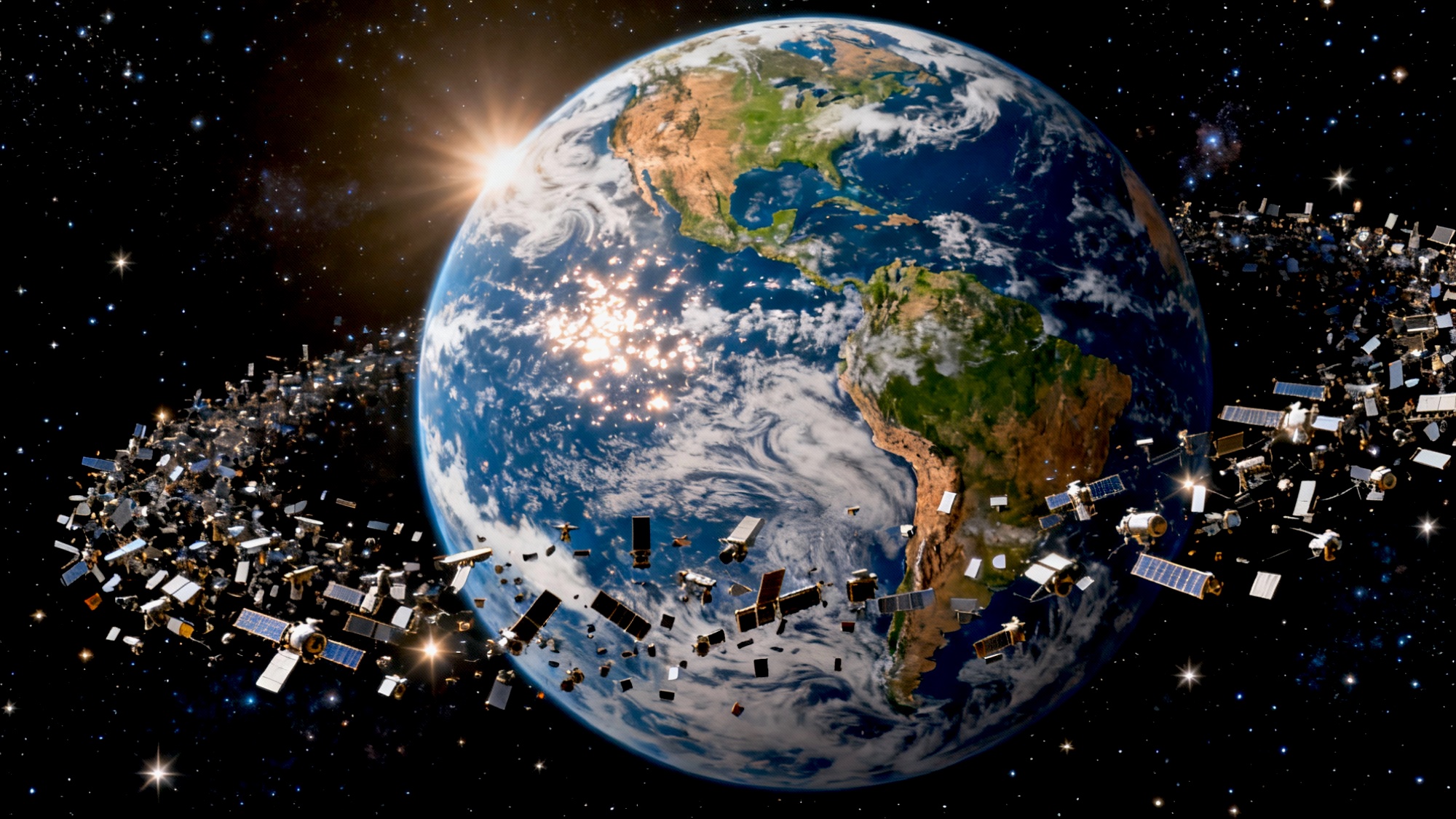
In the spotlight, artificial satellites embody a silent revolution taking place in the cosmos, with the aim of making life on Earth easier. Catalyzing powers of extraordinary feats, they perform essential services that, much more than shaping modern society, open up new frontiers for progress.
Man-made and equipped with cameras, sensors, instruments and systems that change according to their mission, these devices collect data and images of the surface and atmosphere of any location on the planet. They monitor practically everything, with astonishing capacity and precision.
The role of satellites in the modern world and their importance
Initially developed to enable the transmission and reception of sidereal signals - Sputnik 1, launched in 1957 by the former Soviet Union, was the first to explore space - as new aerospace technologies emerge, orbital equipment evolves.
Once mere instruments for experimental space exploration missions, artificial satellites now play a leading role in achieving the much-desired global connectivity. Vital for humanity to adapt to the paradigms introduced by the Information Revolution, they have become key elements in integrating the analog and digital worlds.
Considered the “backbone of innovation”, they have been used for various purposes that generate direct benefits for society, the environment and the economy.
Types and functions of orbital equipment
From collecting information and images on astronomical events to the characteristics of the Earth and its events - whether natural or man-made - the range and value of the data generated by the satellite infrastructure is impressive.
Platforms structured to support different devices, satellites are classified according to the purpose for which they were designed, which also determines their design and orbit. They can be
- Weather: used to monitor the Earth's atmospheric conditions, provide essential elements for studying the climate, weather forecasting and disaster prevention, such as cloud formations, storm patterns, ocean current boundaries, air quality, pollution effects and other references that make it possible to monitor climate change;
- Earth observation: are used to observe the earth's surface. In other words, to monitor the health of forests and agricultural crops, deforestation, water sources and resources, melting glaciers, the evolution of ecosystems and the expansion of cities, among other facts that help maintain natural resources, plan urban growth and respond to disasters;
- Navigation: a constellation of satellites operating in triangulation, form a global navigation satellite system (GNSS) capable of providing real-time information on the topography of areas and the exact position and location of an object or receiver, whether on land, at sea or in the air. The best-known GNSSs are GPS (United States), GLONASS (Russia), Galileo (European Union) and BeiDou (China), which work in an interoperable way;
- Communication: responsible for distributing telephone, internet, radio and TV signals, represent more than half of the satellites in orbit. They act as repeater stations, receiving telecommunications signals sent from one point on the planet and relaying them to another. Capable of circumventing the curvature of the Earth and making long-distance communication possible, they provide connectivity even in remote regions without infrastructure;
- Military: built and operated by armed forces to assist in defense and national security operations, they are specifically intended for military surveillance, communication, advanced warning, navigation and reconnaissance purposes. They photograph territories with extremely high precision, helping to monitor areas and treaties, identify targets, gather intelligence information, etc;
- Scientific: equipped with telescopes and sensors, observe and capture images of the universe in its entirety, without the interference of the Earth's atmosphere. By providing crucial data on the solar system, planets, galaxies, star formation, black holes and other cosmic manifestations, they lead to a better understanding of our past, present and future.
In short, these ultra-technological spatial artifacts that convert inspection into knowledge enable more informed and effective decisions on a global scale. No wonder they are transforming the way governments, industries and human beings understand and interact with the planet.
Leave a Reply